How to Perform Underground Analysis Using Coordinates?
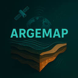
How to detect gold, silver, and voids using latitude and longitude?
Detay Görüntüle
Analyze gold, silver, copper, bronze, voids, tunnels, and caves using latitude and longitude. Get identical results across web and apps.
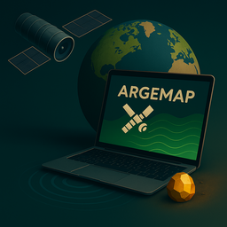
Argemap is not just an app—it’s a comprehensive underground analysis system. With just latitude and longitude, detecting natural and man-made underground structures is now easier than ever.
Our apps work online. All analysis is performed server-side. You can perform the same operations for free on our website after registration.
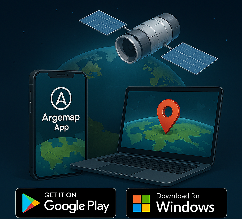
Our Android APK app, designed specifically for Android devices, is securely distributed outside Google Play. Select coordinates on the map and perform instant analysis.
It works online. With an internet connection, analyze via coordinates or map selection. Results are consistent across web, Android, and Windows platforms.
The Argemap Desktop app for Windows 7 and above offers detailed analysis on large screens. It includes advanced features like CSV, PNG, PDF reporting, batch coordinate analysis, and historical data comparison.
Perform professional analysis on your computer. All operations are server-based and require an internet connection. Uses the same algorithm and delivers identical results as the web version.
How to detect gold, silver, and voids using latitude and longitude?
How to analyze via map on your mobile device?
Batch processing, reporting, and detailed comparison capabilities.