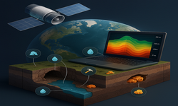
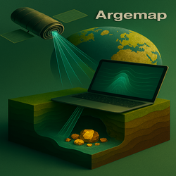
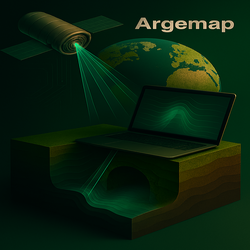
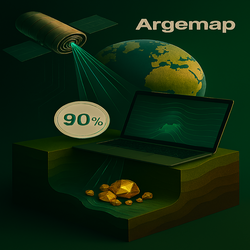
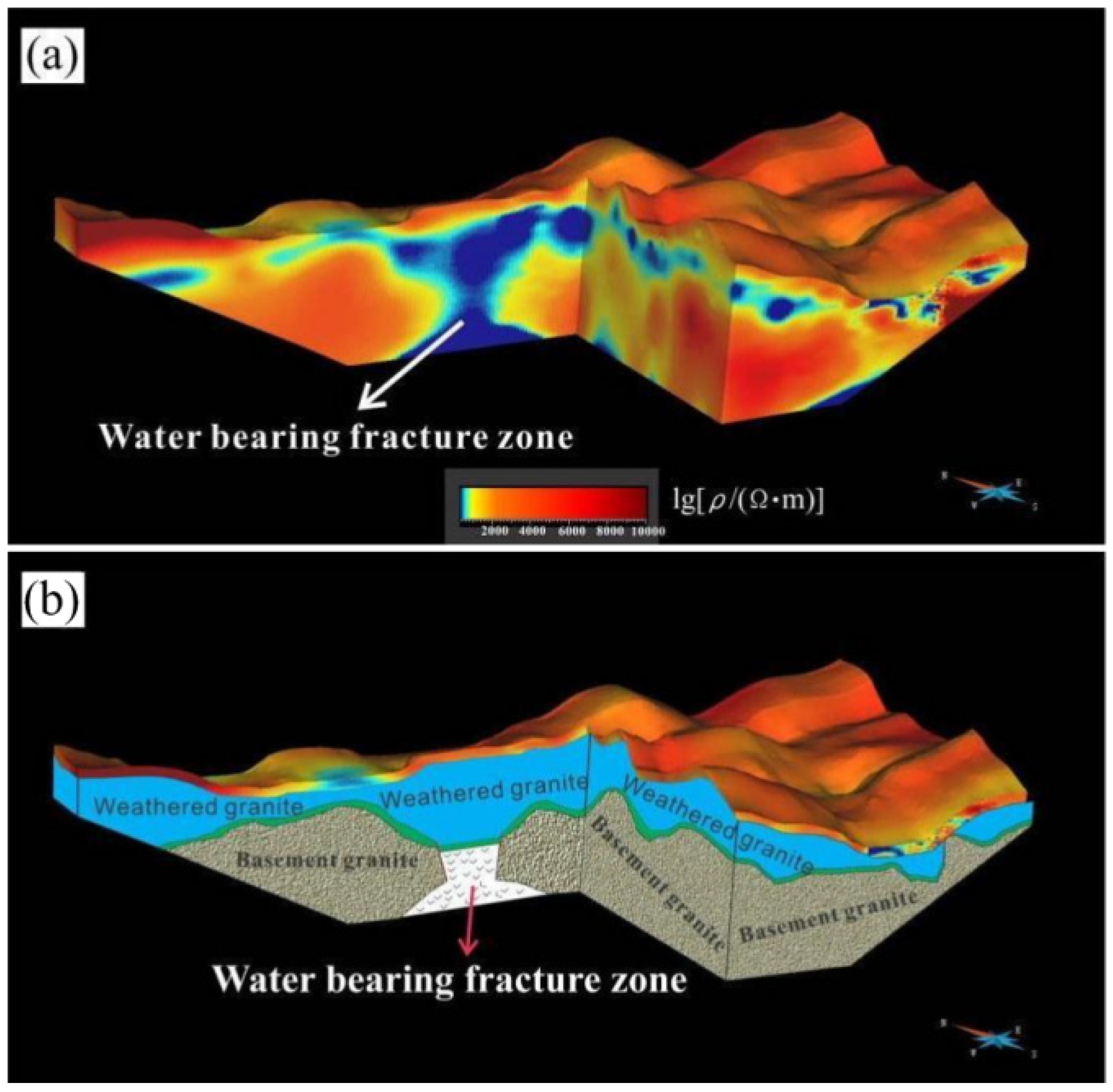
The Underground Is No Longer Hidden

Argemap is the world's first web-based underground analysis platform. Using only location data, our satellite-based geological scanning technology instantly detects gold, copper, caves, water sources, and more in real time.

Argemap Apk Argemap Windows
Jeolojik tarama teknolojisi

Real-Time Underground Detection

Enter latitude and longitude coordinates for instant underground scanning

Enter coordinates and click 'Start Scan' to begin scanning

What Can We Detect?

Our technology can detect the following underground formations with high precision

Gold detection icon

Gold and Precious Metals

Detect underground gold, silver, and other precious metals with high accuracy.

Copper detection icon

Copper and Minerals

Identify copper, bronze, and other valuable minerals with depth and quantity information.

Cave detection icon

Caves and Voids

Accurately locate underground caves, tunnels, and voids.

Water source icon

Underground Water Sources

Detect freshwater sources with depth and volume details.

Scanning Depth Up to 50 Meters

Our technology enables precise scanning down to 50 meters

Our advanced satellite-based geological scanning system can analyze underground structures in detail down to 50 meters. This depth is sufficient to access most underground resources and formations.

Depth Capabilities

  • Full coverage from 0–50 meters
  • Depth analysis every 5 meters
  • 3D depth mapping

Detailed Explanations

In-depth information on how our technology works and its advantages

Satellite-Based Scanning Technology

Using advanced satellite sensors and AI algorithms, we analyze underground structures without physical intervention. Our system collects various geological data and transforms it into meaningful insights.

Data Accuracy and Reliability

Our technology boasts over 90% accuracy. It can precisely determine the size, depth, and composition of underground structures. Our tests confirm that our system delivers significantly more reliable results than traditional methods.

Ease of Use

No complex equipment or technical knowledge is required—just enter coordinates to start scanning. Results appear instantly, are saved automatically, and can be accessed anytime for review or comparison.

Our System Advantages

Many reasons to choose Argemap

Easy Registration and Immediate Start

Register in just a few simple steps and start scanning immediately. No complicated processes or waiting times.

Clear and User-Friendly Interface

We offer an intuitive and easy-to-use interface that anyone can operate—even without technical expertise.

Data Saving and Re-Viewing

All your scan results are stored in your account. You can view, compare, or re-analyze them anytime.

Explore Argemap Features

To use Argemap features, register on our website and instantly view real-time underground formations using your location data. Additionally, with our mobile and Windows applications, you can generate unlimited data and detect gold, copper, silver, voids, and more in real time.

What Our Customers Say

This technology has revolutionized mineral exploration. We quickly identified gold, silver, and copper reserves. The data-saving feature allows us to compare scans from different times.

Deniz C. Geology Specialist

In water-scarce regions, this system saved lives by locating underground water sources. Registration was easy, and thanks to precise positioning, we found water on the first try.

Selin B. Hydrogeology Specialist
Argemap